.

TARGET INDUSTRIES


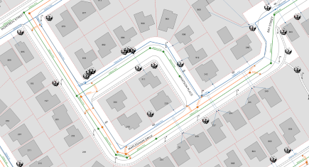
GIS to track sewers, water mains, public works, all municipal infrastructure.

Municipal Engineering & Infrastructure

With over 8 years in the municipal engineering sector, we have experience building an infrastructure asset GIS from scratch. We do data modelling, data collection, QA/QC, maps & analysis, reports, and asset management.

Forestry Sector

Forestry

We are experienced managing forestry spatial data, ETL between industry standard applications, and managing large LiDAR datasets for the forestry sector.
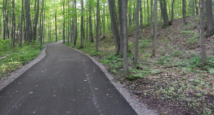
Trails, Outdoor Recreation, Active Transportation

Trails & Active Transportation

We have a special interest in Trails, Outdoor Recreation, and Active Transportation. Whether you are a non-profit organization looking for data and maps to support your efforts, or a Municipality looking to develop an active transportation plan, we can help!

MAPS - DRAWINGS - CARTOGRAPHY


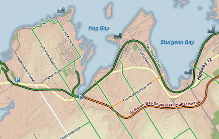
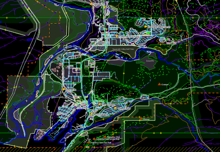
Example of cycling map created by GIS showing map cartography

Cartography

With attention to colour, linetype, scale, and labelling a professional grade finished product is ensured.

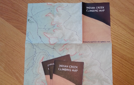
A printed and folded map showing rock climbing and recreation details

Printed and Digital Maps

Complete printed map products designed to be printed and/or folded. Or high-resolution images to fit seamlessly in your website or app.

SPATIAL DATA


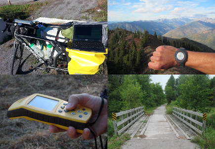
Using GPS, camera, photos, and hiking and biking, we collect field data

Field Data Collection

We have a proven track record of quick, efficient, and accurate data collection. Our collection methods, developed in-house for each individual project ensure quick turn-around time and the best quality of data.

We love using OpenStreetMap, open source software, and open data.

Open Data

We are experienced in leveraging crowd-sourced and open data sources to reduce the costs of your map project. Why reinvent the wheel when we can make use of existing datasets.

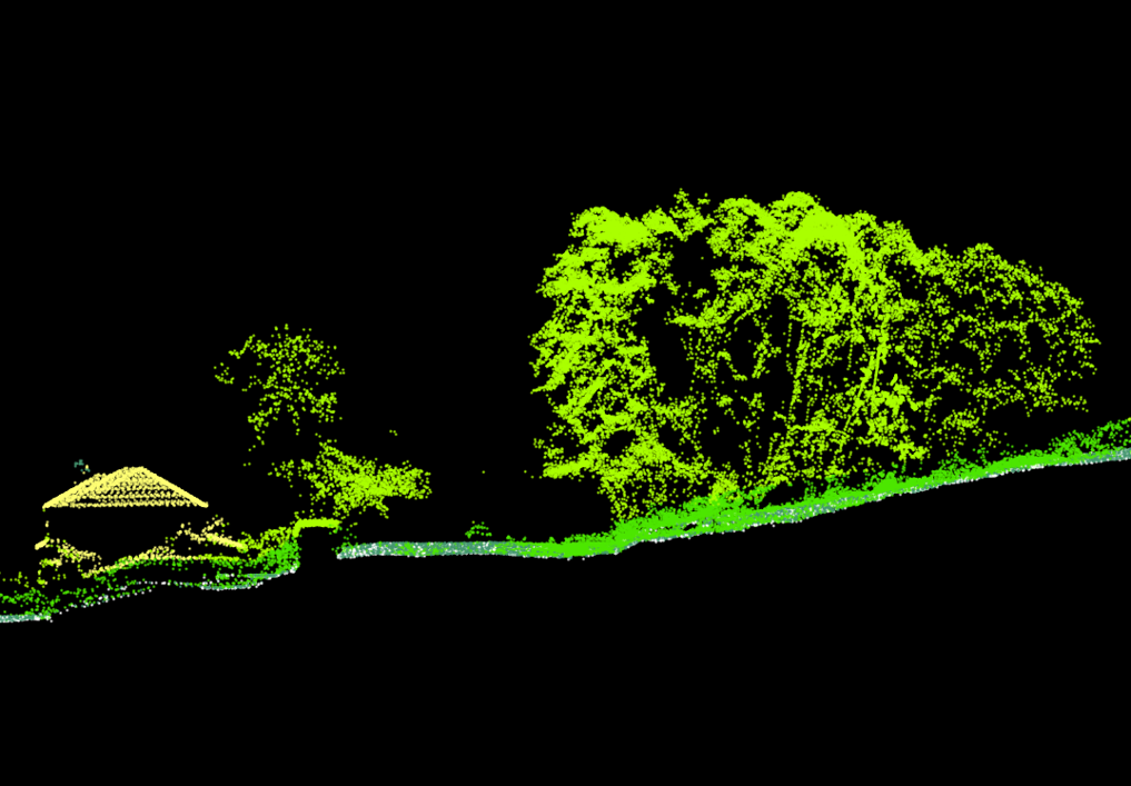
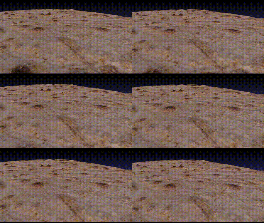
Light Detection and Ranging visualization.

LiDAR

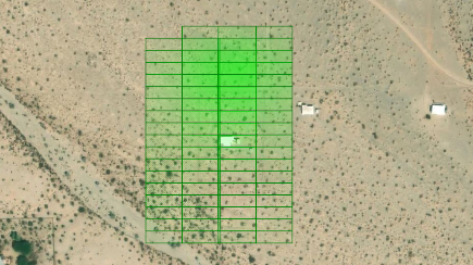
Airborne LiDAR is an incredibly cost-efficient way to collect large datasets for all applications. We bring expertise in acquisiton, dataset management, and feature extraction for your project.

CODE


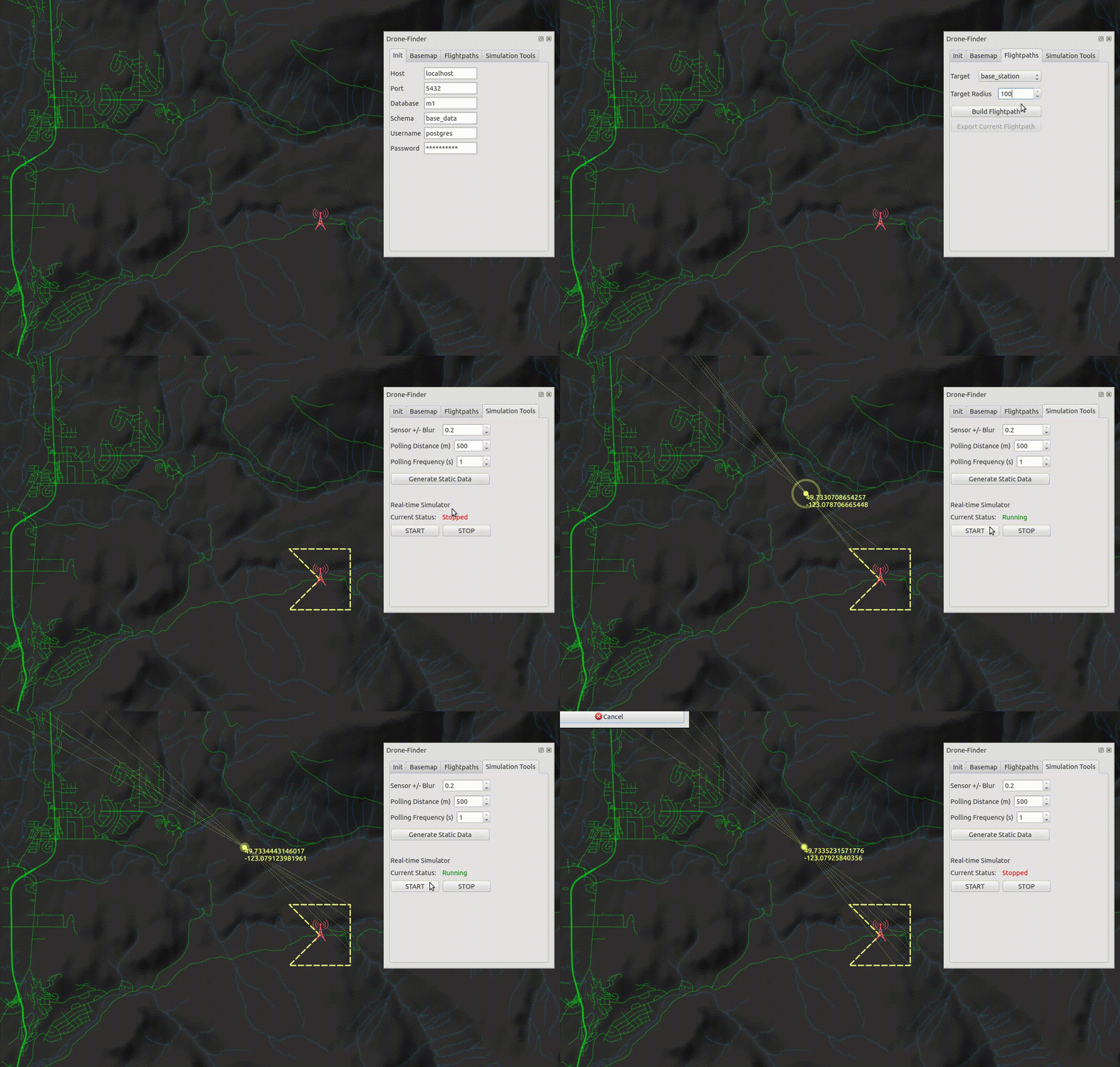
Custom GIS plugin written in Python for QGIS

Custom GIS Plugins

Using Python, the most popular GIS programming language, we create customized tools to fit within your existing GIS environment.

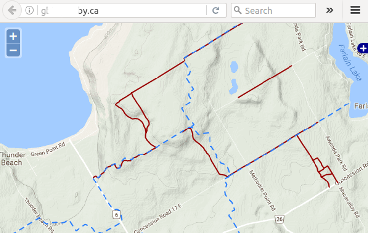
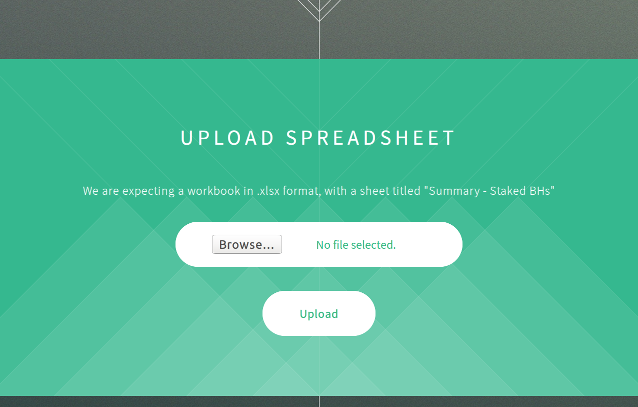
HTML and Python were used to create this custom web tool

Web-based Tools

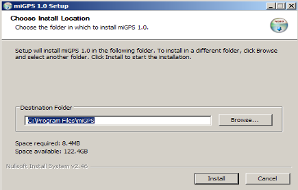
This utility contractor was manually converting GPS coordinates received by other subcontractors. A simple data conversion tool brought all the relevant data into Google Earth without the need for GIS software licenses or training.

Compiled and packaged software for your GIS needs

Standalone Software

Fully independant processes on your desktop or server can collect, process, or manipulate data within your environment. We work in Windows and Linux environments, with most SQL databases.

AERIAL MAPPING & IMAGING

Flight Planning and Acquisition

Data collection start-to-finish. Flight planning to meet data specifications, risk assessments and Nav Canada RPAS Flight Authorizations, on-site deployment and data collection.

GIS Products

Data products that work seamlessly in your existing GIS environment: DTM/DSM, classified point clouds, and more.


-->

Guiding Principals

We believe in Open Source

With collaboration across multiple fields and around the world, a solution built on open source can not only save you licensing costs, but can respond to your changing needs and be fixed, modified, or enhanced far faster than being tied into a proprietary software stack.

We believe in simple, elegant solutions

No longer is it acceptable to purchase a monolithic commercial-off-the-shelf (COTS) system to meet a simple need. Tightening budgets and faster-changing workflows and technologies demand a modular, flexible system that can quickly and efficiently meet your needs.

We believe your data is untapped.

Your organization has data. That's great! Now the challenge is unlocking the intelligence buried within. This means building the inter-relationships within your data and extracting the valuable meaning.